I’m writing a post about Colombia while traveling with a Colombian for a blog in which half the audience is Colombian. No pressure.
We left Esteban, his family and Costeño culture for the mountains of Santa Marta, a small cluster of tall peaks separate from the Andes between the Rio Magdalena and desert peninsula of Guajira. It’s also a place V has wanted to visit for a long time, but couldn’t. Imagine snow-capped peaks right next to the Caribbean. It’s quite a sight. The Arhuaco, Wiwa, Kogi and other tribes live in the interior with much of their culture still intact. They believe that the mountains are the center of the universe and by protecting them they will protect the rest of the world. I hope they succeed, for all our sake.
The mountains were a cool respite from the hot coast. We had pleasant conversations with the kindest of hosts, Fernando, who spoke so softly and slowly that even I could understand everything. After touring a coffee plantation and production facility that still uses its 19th century water- and electric-powered machinery, we saw one the strangest things we have seen on a motorcycle so far: a young couple and large monkey with a look of contentment on its face, as if this wasn’t its first ride. Enjoy the trip my friend.

Palm trees and glaciers in the Sierra Nevada de Santa Marta. Photo by Nate
After the Sierra Nevada de Santa Marta, we drove up the long, hot, well-paved Rio Magdalena valley towards the interior of the country. Before reaching the foothills of the Andes, we stopped one last time for some zapote juice. Delicious. Seriously, if you love 100% real juice, Colombia is the place to go. Mango, pineapple, guava, guanábana, papaya, maracuyá (passion fruit), lulo …
The Andes end (or begin?) in Colombia. They split into three ranges called Tres Cordilleras – Oriental, Central, and Occidental (Eastern, Central and Western). After driving through the foothills, we finally got a taste of the sheer size of these mountains when we reached a viewpoint above the Chicamocha Canyon. Peering down into its rocky, tree-less depths we were able to see the winding roads we would drive the next few days. While Chicamocha does not have the beautiful sculpted formations of the Grand Canyon, it’s big enough to swallow it up.

Chicamocha Canyon. Photo by Nate
From Chicamocha, we drove to the town of Barichara, a beautiful old pueblo with white-washed buildings made of the red earth from that region. For those of you that don’t know, I’m somewhat obsessed with earthen buildings – cob, forced earth, adobe. I love it all and I dream to build something someday, so for me this town with its plaza that smells of jasmine in the evenings was a little slice of heaven. Well almost. It was really quiet when we were there. Quiet because it was mid-week. Apparently, few Baricharans live in Barichara anymore. Many homes are now owned by people from Bogotá. Barichara like many beautiful places in this part of Cordillera Oriental has become a weekend playground for the capitol. Nevertheless we found ourselves daydreaming about buying a lot of our own at the edge of town with views of the Suarez River and a mountainous horizon. Hmmm….
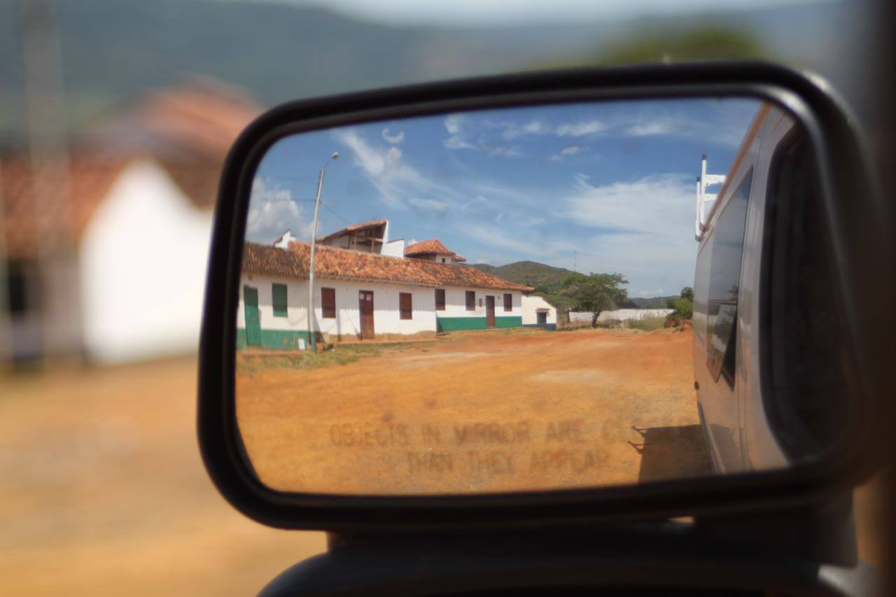
Homes for sale in beautiful Barichara may be closer than they appear. Photo by V.
Our “camp” for two nights in Barichara. Photo by V.
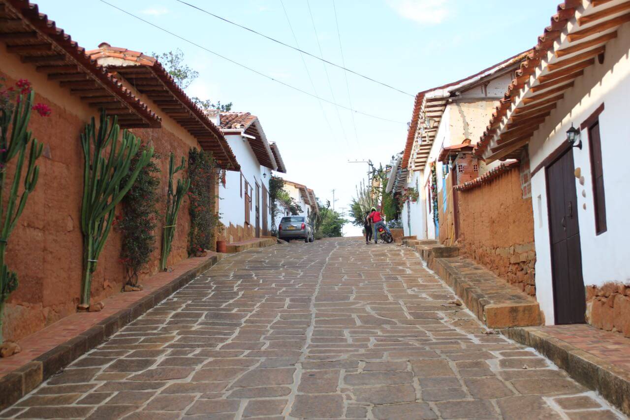
The earthen homes of Barichara. Photo by Nate.
Next up, Cocuy National Park. The two-day drive there has been my favorite yet. The route we chose was a slow, intimate road that takes you past small towns, over mountains, beside rivers, through fields and forests. It was also the road that taught us about the widely disparate views humans seem to have regarding road conditions. We were warned multiple times that we should have four-wheel drive for this road. While it is indeed unpaved, a Ferrari could have made it without a scratch. Still, I would suggest a different vehicle for this route, preferably one with room for more passengers. You see, half of what made this route so interesting was that we gave rides to about 20 people. 20 people, 20 stories. We heard about the woman near Mogotes who is trying to sell her land because she can’t work it anymore. The man from Onzaga who couldn’t comprehend how far we’d driven because he had never even been to Bucaramanga, 100 miles away. The old woman who needed a new hip and a new home that wasn’t an hour’s walk up a mountain, but whose deaf husband refused to leave. The lady from San Mateo who told proudly how nice and calm her town is, now.
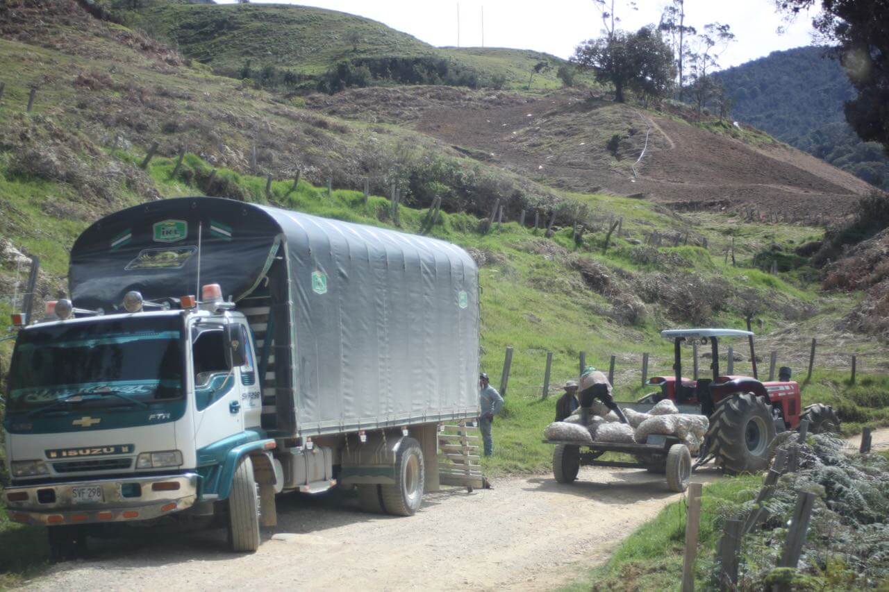
Potato farmers. Photo by V.
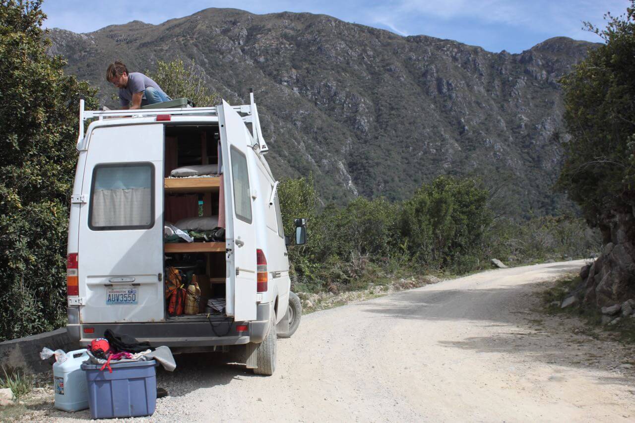
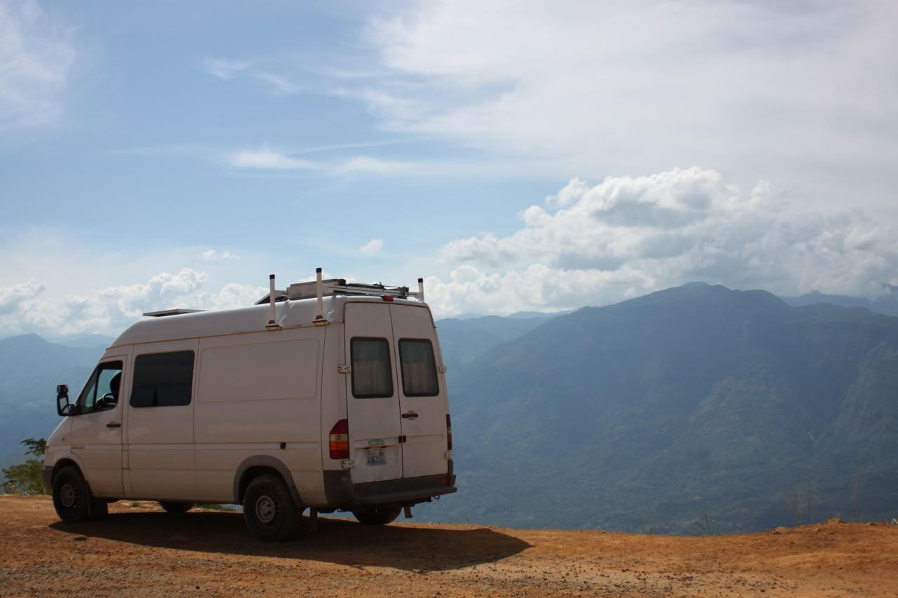
A stop on the way to Cocuy to fix the bent roof rack. We drove too close to a cliff wall. Photo by V.
We finally made it to the park entrance some 13,000 ft high. We had been warned that it was a rough road so we talked to the ranger. “It’s a 4×4?” he asked pointing to the van. No. “But it’s strong right?!?” Sure. “You should be fine”. He opened the gate and we descended the steep, rocky dirt track that would haunt me the next three days as I laid in bed at night trying to sleep but could only imagine Cosmo getting stuck on the way out.
The entrance to Cocuy National Park. Photo by Nate
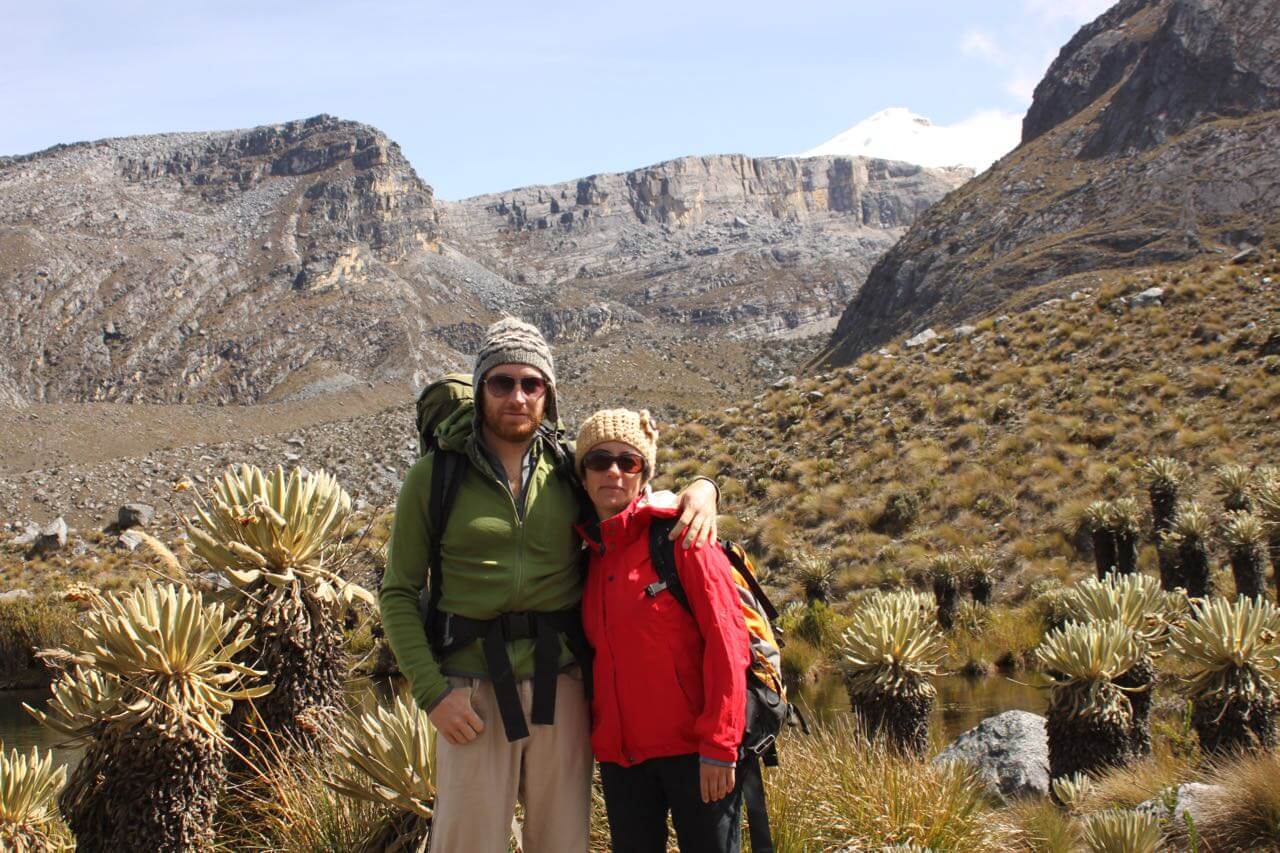
Cocuy is something to behold. I loved it. Clear waters, rocky peaks, Dr. Seuss-like plants called frailejones, glaciers (slowly disappearing of course). Imagine if a high Nevada mountain range mixed with Joshua Tree National Park. After a day of attempted acclimatization, we began our exploration. We hiked up a river valley towards high alpine lakes one day, and a steep ascent towards the Devil’s Pulpit the next day. We didn’t quite make it. The elevation finally got to me. There are 3 other trailheads in different parts of the park offering even more beautiful views – Laguna Grande de los Verdes, Laguna Grande de la Sierra which I’m told has a beautiful beach with views of six peaks, and the pristine glaciers of Ritacuba. It’s a place I would like to return, but after spending more time acclimating to such a high elevation. After four days we decided to leave because the weather was turning. We warmed up Cosmo’s engine, packed away our belongings, lowered the tire pressure and picked up two fellow travelers for the steep drive out. Cosmo scraped, chugged, bounced and climbed its way out to my pleasant surprise. I could sleep peacefully at last.
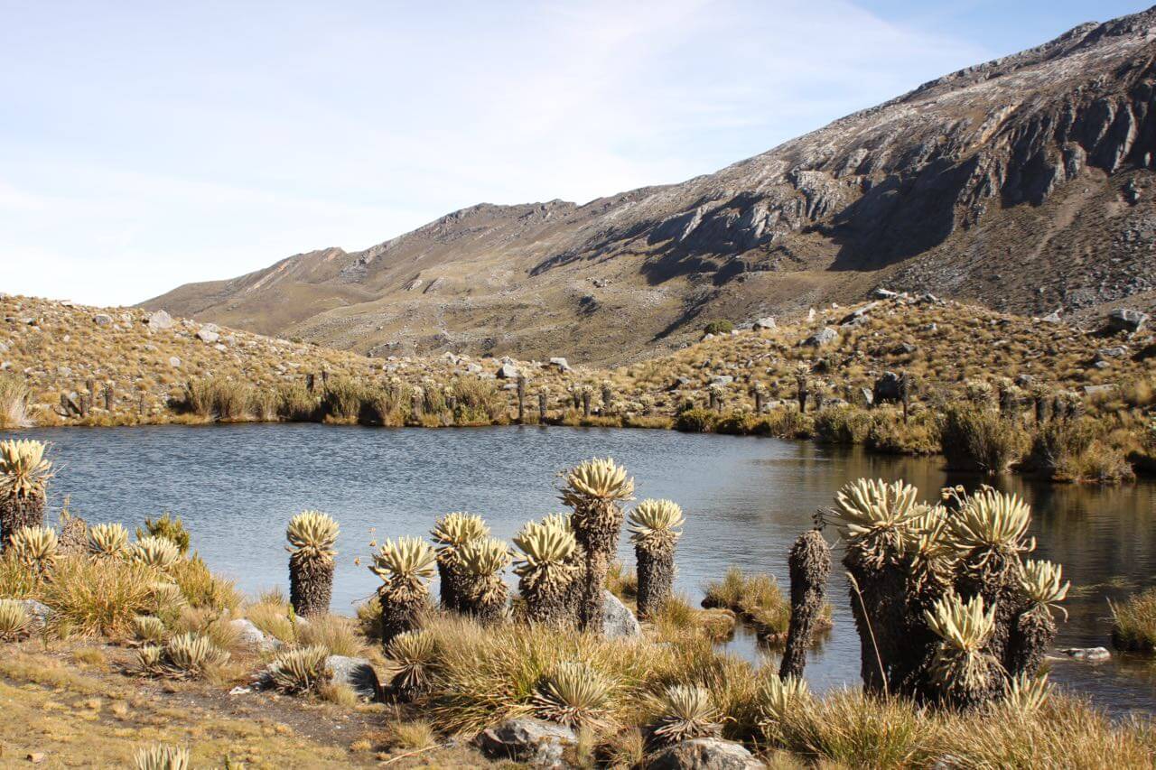
The frailejones in Cocuy. Photo by Nate
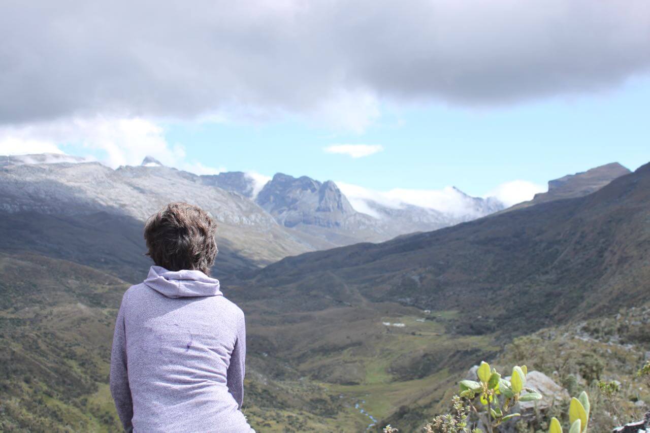
Happy in the mountains. Photo by V.
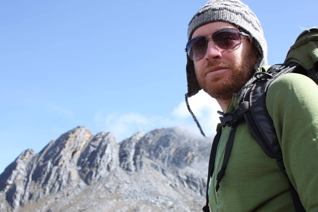
In Cocuy. Photo by… a rock.
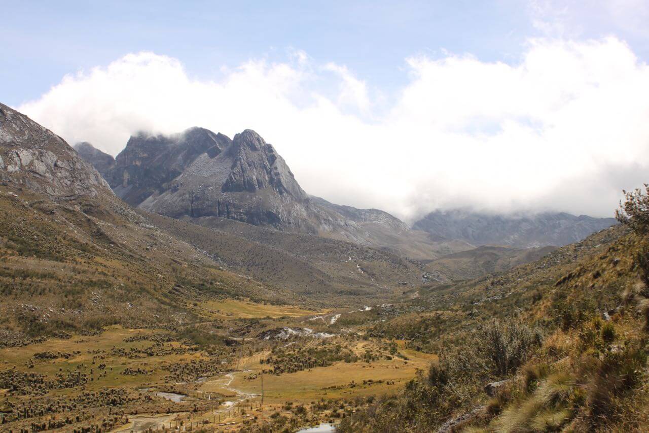
Cocuy. Photo by Nate.
It was a two-day drive to our next destination in Villa de Leyva, roughly following the path that Simón Bolívar the Liberator took 200 years ago. During the drive we read up on the violent history of Colombia. This country has only seen a few decades of relative peace since its inception. Villa de Leyva was a place of rest for both Bolivar and us. A casual stroll through the breezy streets and good food was what we needed. And oxygen.
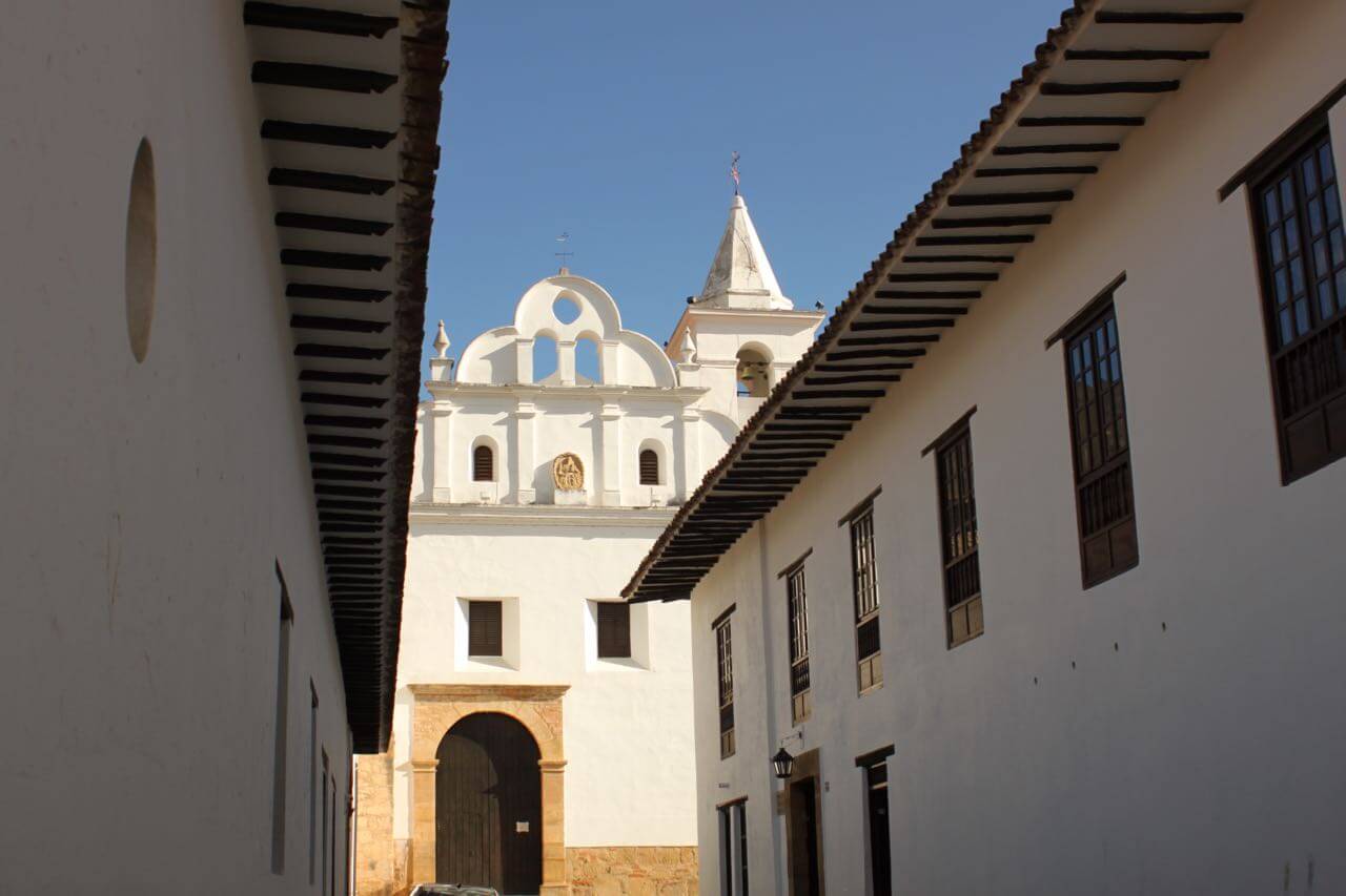
A convent in Villa de Leyva. Photo by Nate
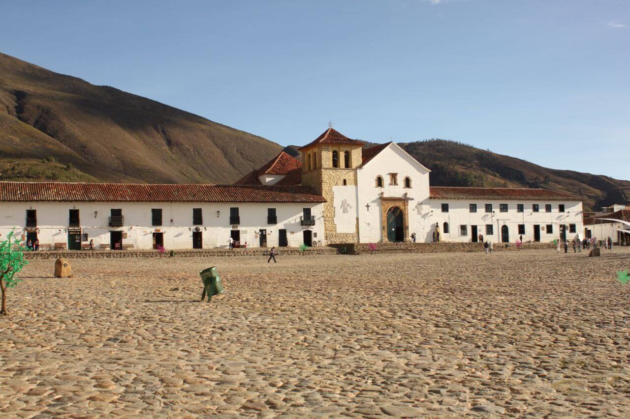
Plaza de Armas in Villa de Leyva. Photo by Nate.
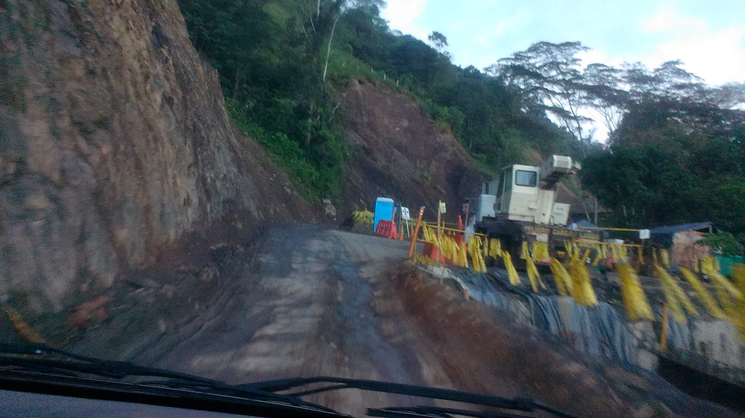
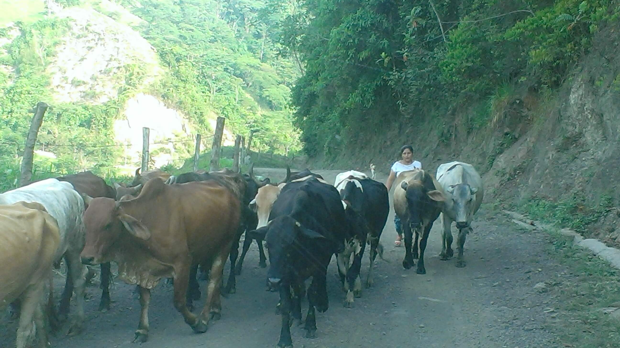
A good thing too, because the next stretch of road proved to be difficult. Somewhere between Chiquinquirá and Puerto Boyacá, the highway devolved from pavement, to gravel, to rocky earth, to roadblock amidst a mountainous jungle region. The “highway” reopened at 6pm presenting to us a dilemma. Drive back to the nearest town, or continue to Puerto Boyacá after sun down? We don’t typically drive at night. Potholes, speed bumps and cattle have a way of materializing out of headlight beams. After talking with locals we chose to push on with the small convoy of vehicles that had formed. 45 minutes later we gave up. The rocky dirt road had devolved even further into mud pits, hairpin curves, narrow lanes between cliff and tractor, and huge dump trucks plowing uphill in the opposite direction with no intent on slowing down or turning off their brights. Frankly, it was the worst road I’ve ever driven. We spent the night next to someone’s home and waited for morning.
In the daylight things were better. We could actually see what we were doing and the beautiful land we were in. We picked up a few more people throughout the day – a happy, talkative woman who had been taken by a paramilitary man at age 12 and had five kids with him, most of whom now grow butterflies for export. She can’t because of “nerves” (PTSD?). The other woman was a shoeless grandmother and her three smiling grandkids on their way to the hospital in Puerto Boyacá. They were Emberá, a tribe from the Pacific, and likely displaced by prior conflict.
The “road” to Puerto Boyacá. Photo by V.

The lovely landscape we missed in the night along the nightmarish road. Photo by V.
On the road to Puerto Boyacá. Photo by V.
The conversations and encounters we had with folks from all over rural northern Colombia revealed a few things. There appears to me a deep and quiet sadness behind the veil of the present. Hints of a past few want to discuss, but with it a cautious optimism about the future. It feels like people here are breathing in a new, unknown Colombia one day at a time. They seem to embrace (and maybe have a better understanding of) the present, the now. I wonder if there is a connection between this and the incredible hospitality we’ve experienced. The people we’ve met greet us with a friendly handshake or joke and those eyes that see you as a fellow human, not as a tourist or stranger or enemy. They are among the kindest and warmest we’ve met on this journey.
We dropped off the grandmother and kids at the hospital, ate lunch and took a cool dip in Rio Claro before the climb up the Cordillera Central. Towards the known, towards family, towards Medellin, towards home. Thankful for what we have. Thankful for friends and family. Thankful for icy glaciers, clear rivers and rocky peaks. Thankful for the now.


Your blog continues to transport me. Beautiful writing by all.
Heading to Fiji on January 30. Connection next week. WIll miss you, Nate!!
Safe travels!